
- Homepage
- Author
- Aleister Crowley (10)
- Anonymous (12)
- C H Spurgeon (10)
- Charles Dickens (25)
- Edgar Allan Poe (14)
- God (22)
- John Dee (21)
- L. Frank Baum (10)
- Lewis Carroll (41)
- Louisa May Alcott (10)
- Maria Parloa (9)
- Mark Twain (8)
- Mixed Authors (11)
- Rudyard Kipling (23)
- Selected (8)
- Unknow (8)
- Unknown (32)
- Various (39)
- Walter Scott (9)
- William Shakespeare (28)
- ... (5061)
- Era
- Format
- Language
- Narrative Type
- Topic
1927 / Philippines Triangulation / 44 Fold Out Maps / Two Volumes / Very Rare
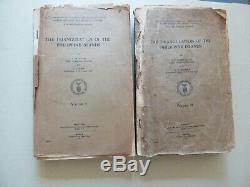
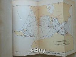
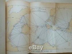
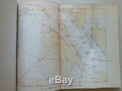
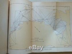
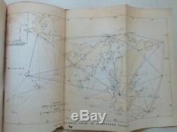
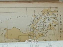
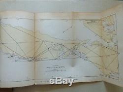
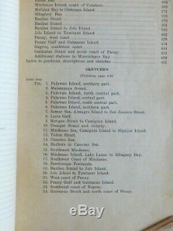
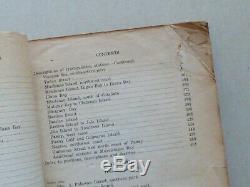
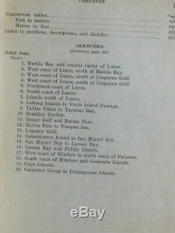
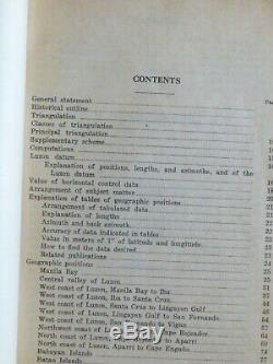


Department of Commerce and Communications Bureau of Coast and Geodetic Surveys. The Triangulation of the Philippine Islands. The Triangulation of the Philippines comes in two volumes, in the original staple bound wraps, paginating with [468 and 476 pages, with a total of 44-fold out maps]. The volumes are in fair condition and is priced accordingly: Volume One is complete with two small holes in title page, and the front cover is loose, but the contents and maps are in good condition. Volume Two is also complete but the front cover and title page are loose, with some loss to the first ten pages or so on the top right corner, and some more pages being folded at corners.
(perhaps first 25 pages) Again, all the maps are in good condition apart from a tear along a fold on the map of Guimaras. American engineers were very proud of this mapping project and often compared the work to the triangulation of India undertaken by British engineers. Some images have been provided above for you to examine the condition and contents of both volumes. The two volumes are only in fair condition, but they are very scarce according to OCLC Accession No. 14547212 in the WorldCat database, and only ten libraries worldwide hold copies.
The item "1927 / PHILIPPINES TRIANGULATION / 44 FOLD OUT MAPS / TWO VOLUMES / VERY RARE" is in sale since Monday, April 8, 2019. This item is in the category "Books\Antiquarian & Collectible". The seller is "forest_hills_books" and is located in Forest Hills, New York. This item can be shipped worldwide.- Year Printed: 1927
- Topic: PHILIPPINES / MAPPING PROJECT
- Binding: Softcover, Wraps
- Region: PHILIPPINES
- Subject: Exploration & Travel
- Language: English
- Publisher: BUREAU OF COAST AND GEODETIC SURVEYS
- Place of Publication: MANILA
- Special Attributes: 44 COLORED FOLD OUT MAPS

